
MD 404 Dualization
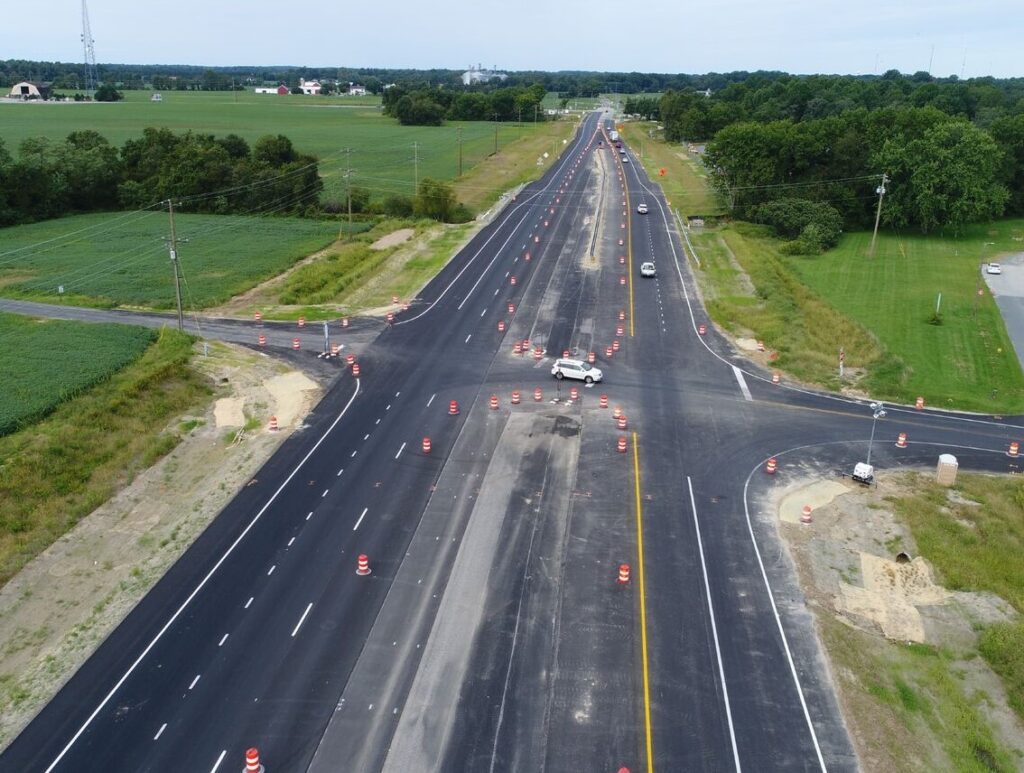
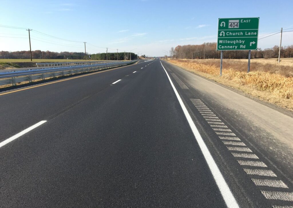
Provided preliminary design and project management responsibilities for the design/build project to widen and upgrade 4 ½ miles of the MD Route 404 from a two-lane undivided highway with no access control to a four-lane divided highway with partial access control.
- MDOT SHA
- Queen Anne's County, MD
- $160M
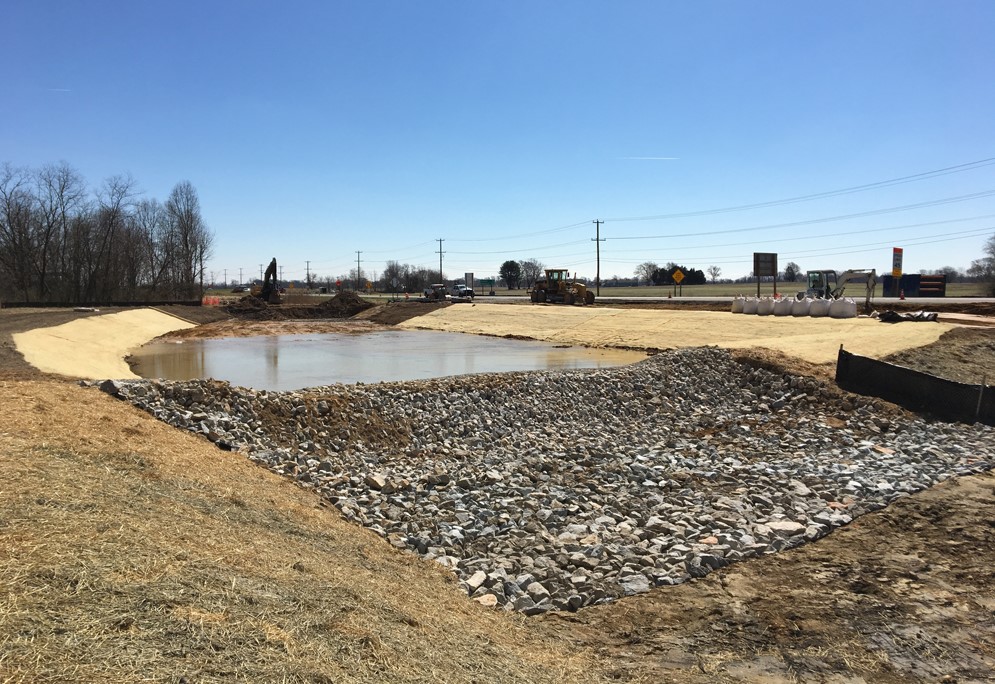
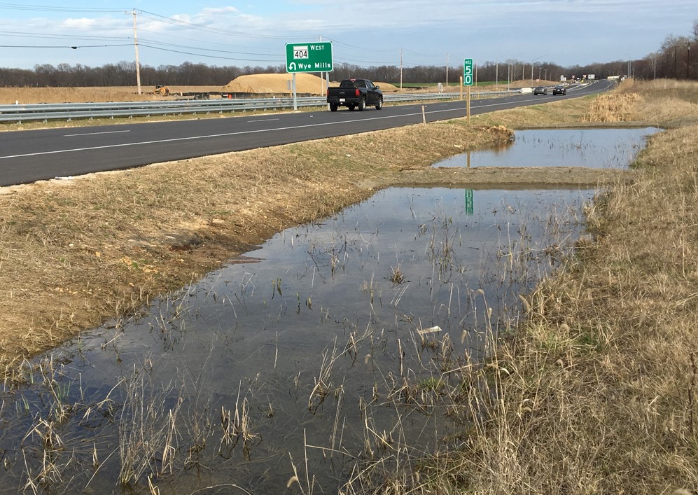
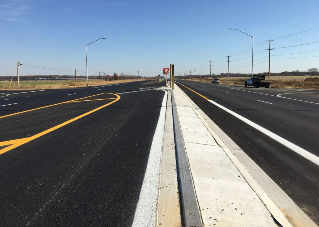
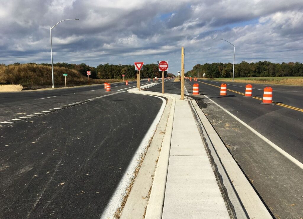
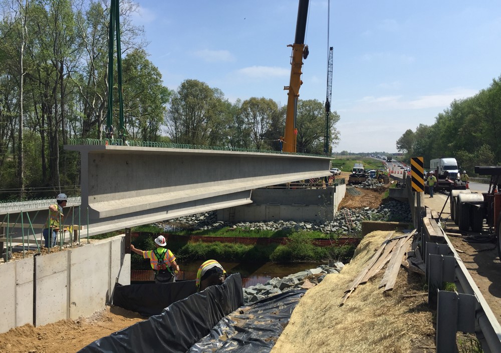
Designed four (4) new access roads, a series of ‘J-Turns’ to safely allow U-turn and accommodate emergency response vehicles or large farm equipment, and intersection geometry for seven (7) intersections. Conducted extensive hydrology & hydraulic analysis for 12 square miles of Norwich Creek 80 square miles of the Tuckahoe River that earned a certificate of appreciation from MDOT State Highway Administration’s Office of Structures. Designed stormwater management that implemented environmental site design to the maximum extent practicable by utilizing various ESD facilities in conjunction with 16 quantity control ponds, nine (9) structures (1 bridge and 8 culverts), and utility relocations. All preliminary design, cost estimates, RFQ/RFP, permits, etc. were completed within a six-months to ensure the design/build team had sufficient time to complete construction, especially with the construction restrictions because of the endangered species. Coordinated approx. 60 acres of right-of-way acquisition, NEPA, cultural resources, noise analysis, wetlands/WUS, wildlife, CAC areas, roadside tree permits, and landscape design.